Home · The Grid
Before you walk01
Six rules of the grid
- 1Uptown is north, downtown is southThe island runs roughly north and south, and New Yorkers never say north or south: they say uptown and downtown, and the subway signs say the same.
- 2Avenues run the long wayThe wide avenues run up and down the island, numbered from First Avenue in the east to Twelfth in the west, with Lexington and Madison squeezed in later on the East Side.
- 3Streets run across and count upwardThe numbered streets cross the island from river to river, and the numbers rise as you go north: 14th Street, then 23rd, 34th, 42nd and on up to 220th Street.
- 4Fifth Avenue divides east from westEvery numbered street is East or West depending on which side of Fifth Avenue it lies, so East 59th and West 59th are the same street on opposite sides.
- 5Twenty blocks make a mileStreet to street is a short block of about 260 feet, so twenty of them add up to a mile; the blocks between avenues are much longer.
- 6Below Houston the grid gives upThe old city at the southern tip, the Village and Chinatown kept their older street plans, with names instead of numbers and angles all their own.
In full02
The Grid
Why a page about streets
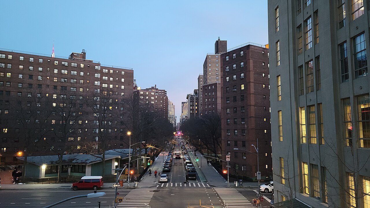
Most cities have to be learned. Manhattan above Houston Street can be read. Nearly every address there sits on a single plan, drawn up more than two centuries ago, in which the streets are numbered in order and meet at right angles. Once you understand how it works, a street name tells you where you are, which way to walk, and roughly how long it will take. It is the most useful thing a visitor can know about the island, and it explains half of what you see: the long canyons of the cross streets, the sunsets at the end of them, and the odd triangular squares where Broadway breaks the pattern.
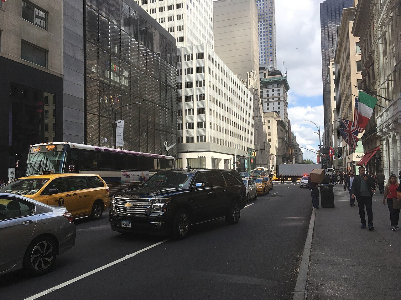
This page explains the plan, its rules and its exceptions. Getting around covers the subway that runs beneath it, and where to stay covers the neighborhoods laid over it.
The plan of 1811
In the early nineteenth century the city was still crowded into the southern tip of the island, and the land to the north was farms, estates and country roads. The city's Common Council wanted to lay out that land for orderly development and sale, but local politics and property owners made it impossible to do alone, so it asked the state legislature to step in. In 1807 the legislature appointed three commissioners with sweeping powers: Gouverneur Morris, a Founding Father; the lawyer and former senator John Rutherfurd; and the state Surveyor General, Simeon De Witt. Their chief surveyor was John Randel Jr., who was twenty when he started the job.
Their plan, presented in 1811, covered Manhattan from Houston Street to 155th Street. It chose the plainest possible pattern, a gridiron, because, in the commissioners' own words, straight-sided and right-angled houses are the most cheap to build and the most convenient to live in. It has been called the single most important document in the city's development. Critics have complained of its monotony ever since, but urban planners have come to think better of it. It took about sixty years to build the grid all the way to 155th Street.
How the grid is measured
The plan laid out twelve main avenues, each 100 feet wide, running up the island, and 155 numbered cross streets, most of them 60 feet wide. Fifteen of the cross streets were made 100 feet wide, and they are still the island's great crosstown streets: 14th, 23rd, 34th, 42nd, 57th, 72nd, 79th, 86th, 96th, 106th, 116th, 125th, 135th, 145th and 155th. If you are looking for a busy street with a subway stop and buses, those are the numbers to remember.
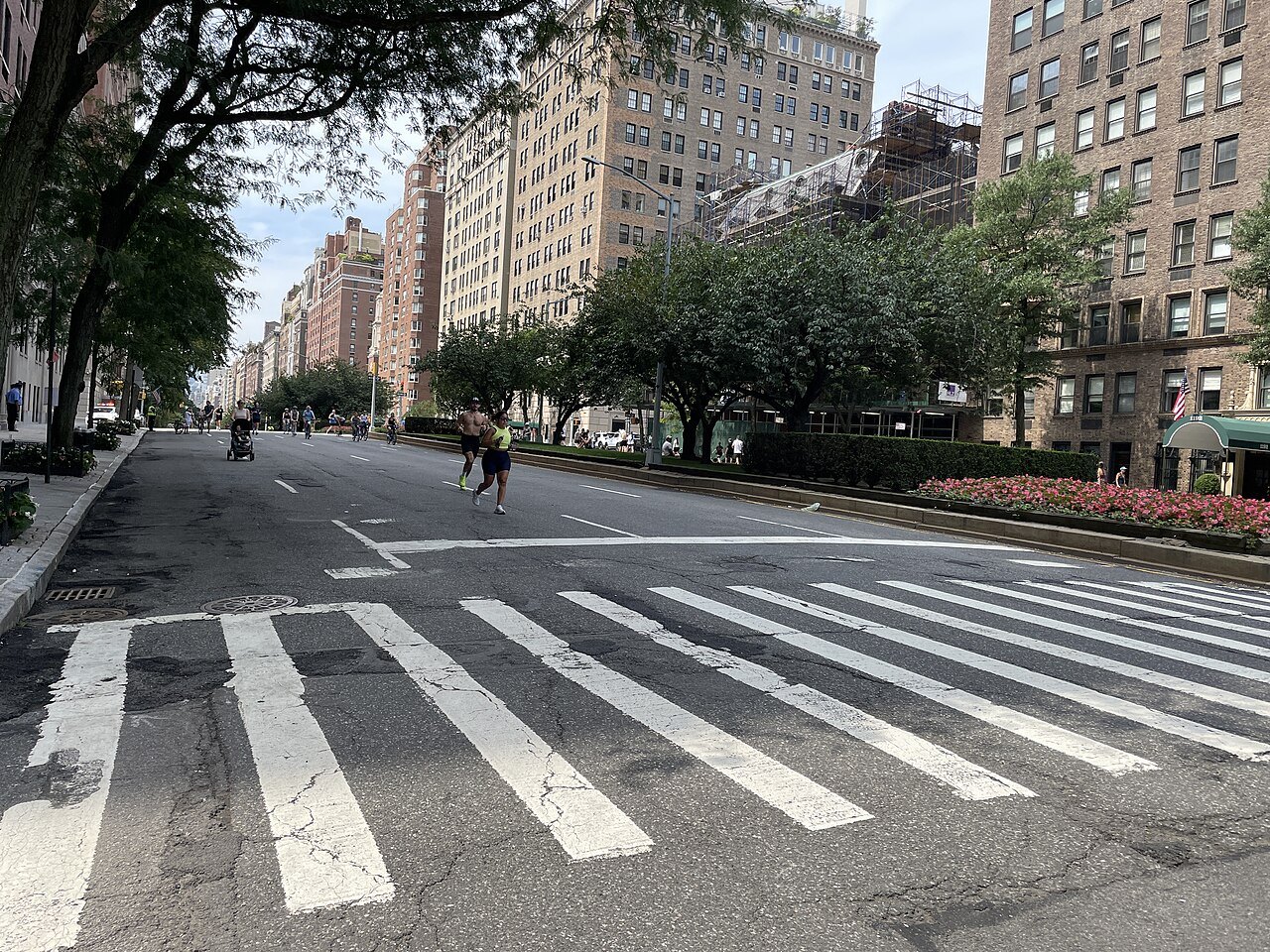
Between each pair of cross streets there are about 200 feet of buildings, so each street and block together come to roughly 260 feet, and there are almost exactly twenty blocks to the mile. The blocks between the avenues are far longer, which is why walking crosstown between two avenues takes much longer than walking the same number of blocks uptown. The result was a grid of about two thousand long, narrow blocks, and it is the reason Manhattan's buildings stand in such neat rows.
Lexington and Madison Avenues were added later, squeezed between the original avenues on the East Side, which is why the East Side has avenues with names as well as numbers. East of First Avenue, lettered avenues from A to D give the neighborhood of Alphabet City its name, and in the far north the grid was eventually carried on past the plan's limit, to 220th Street.
The tilt, and Manhattanhenge
The grid is not laid out on true north. It is turned 29 degrees clockwise, to follow the line of the island itself, so that the avenues run parallel to the rivers. Manhattan's north is therefore not the compass's north, and the maps on this site are drawn with the island upright, the way New Yorkers think of it.
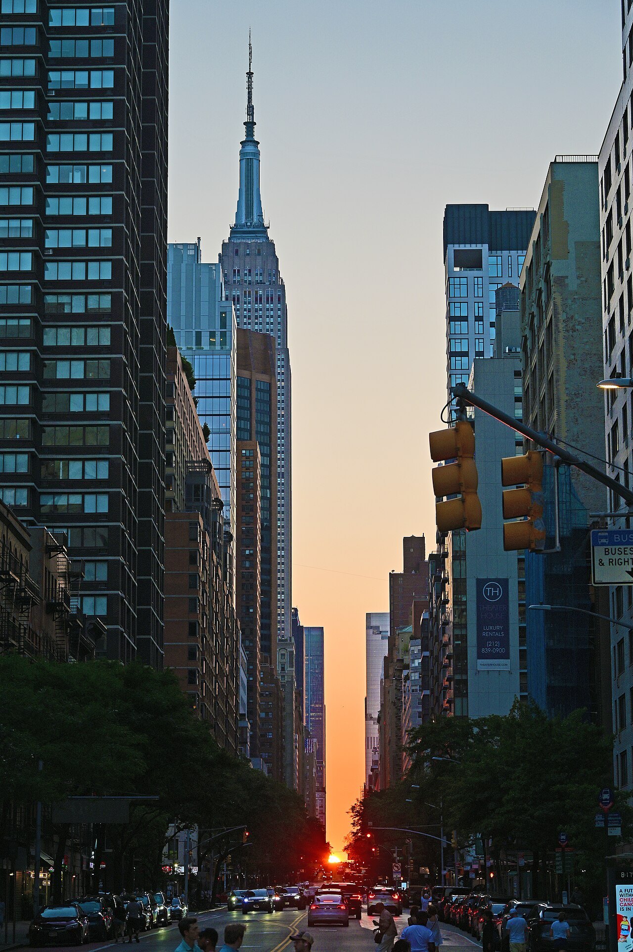
That tilt produces one of the city's great sights. Twice a year, around the end of May and the middle of July, the setting sun lines up exactly with the cross streets, and it sinks between the towers at the end of every street at once. The astrophysicist Neil deGrasse Tyson named it Manhattanhenge, after Stonehenge. The wide streets make the best viewing: 14th, 23rd, 34th, 42nd and 57th. The sunrise lines up in the same way in early December and early January, when it is colder and the crowds are thinner. When to come has the dates on its calendar.
Broadway, the road that was already there
Broadway was an old road long before the grid, and the 1811 plan left it out; it was fitted in later. It runs the length of the island on its own slanting line, and wherever it crosses an avenue it leaves a leftover triangle of open space. Those triangles became the city's famous squares: Union Square at 14th Street, Madison Square at 23rd Street, where the Flatiron Building fills the wedge, Herald Square at 34th Street, and Times Square at 42nd Street. Several of them have been closed to traffic and turned into pedestrian plazas.
The plan made few allowances for open space: a large parade ground between 23rd and 33rd Streets, of which only Madison Square Park survives, a handful of small squares, a market and a reservoir. Central Park was not in it at all. It was carved out of the grid in the 1850s, and it interrupts the streets for fifty blocks.
Where the grid stops
South of Houston Street, and in parts of the Village, the older city survives with its own street plans. Lower Manhattan has the crooked lanes of the colonial town, with named streets such as Wall Street, and Chinatown has the bends of Mott Street and Doyers Street. In the West Village the streets were laid out in the eighteenth century roughly parallel to the Hudson, set at an angle to everything else. Some were given numbers later to make them look like part of the grid, which is why West 4th Street crosses West 10th, 11th and 12th Streets before ending at West 13th: the one intersection that makes no sense on any map. See Greenwich Village for the walk.
In these parts of the island, carry a map. Everywhere else, you only need the rules at the top of this page.
Reading an address
An address on a numbered street is easy: it names the street, and the house number tells you how far from Fifth Avenue it lies, East or West. The simplest habit is to ask for the nearest cross street, as New Yorkers do; almost every listing gives one, and with it you can place any building on the grid at a glance.
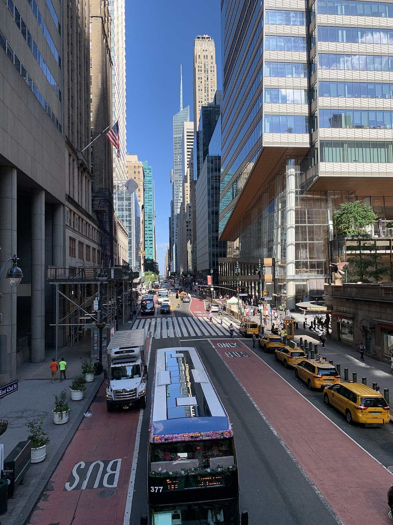
Addresses on the avenues run on their own numbering, avenue by avenue, which even New Yorkers do not know by heart. Ask for the cross street instead: the Guggenheim is on Fifth Avenue at 88th Street, the Empire State Building on Fifth Avenue at 34th, Grand Central on Park Avenue at 42nd. With those two numbers you can find anything on the island.