Home · Getting Around
Once you are here01
Seven ways to move
On footOn foot
The best way to see the island. Twenty blocks make a mile up and down; the blocks between avenues are much longer.
On railsThe subway
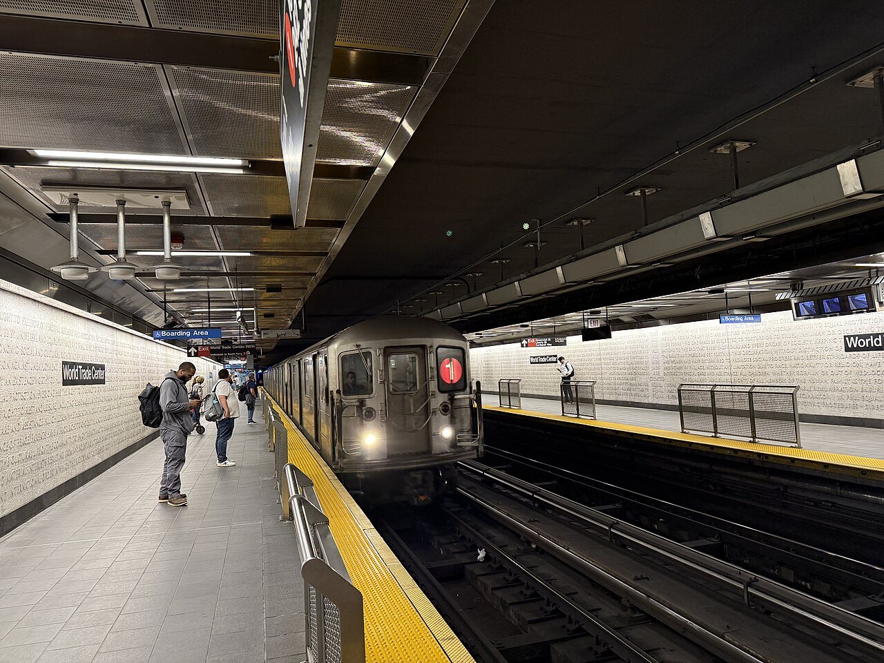
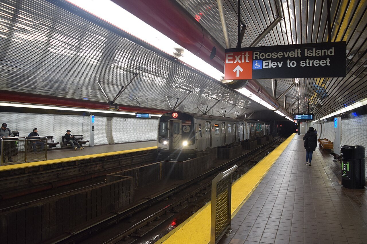
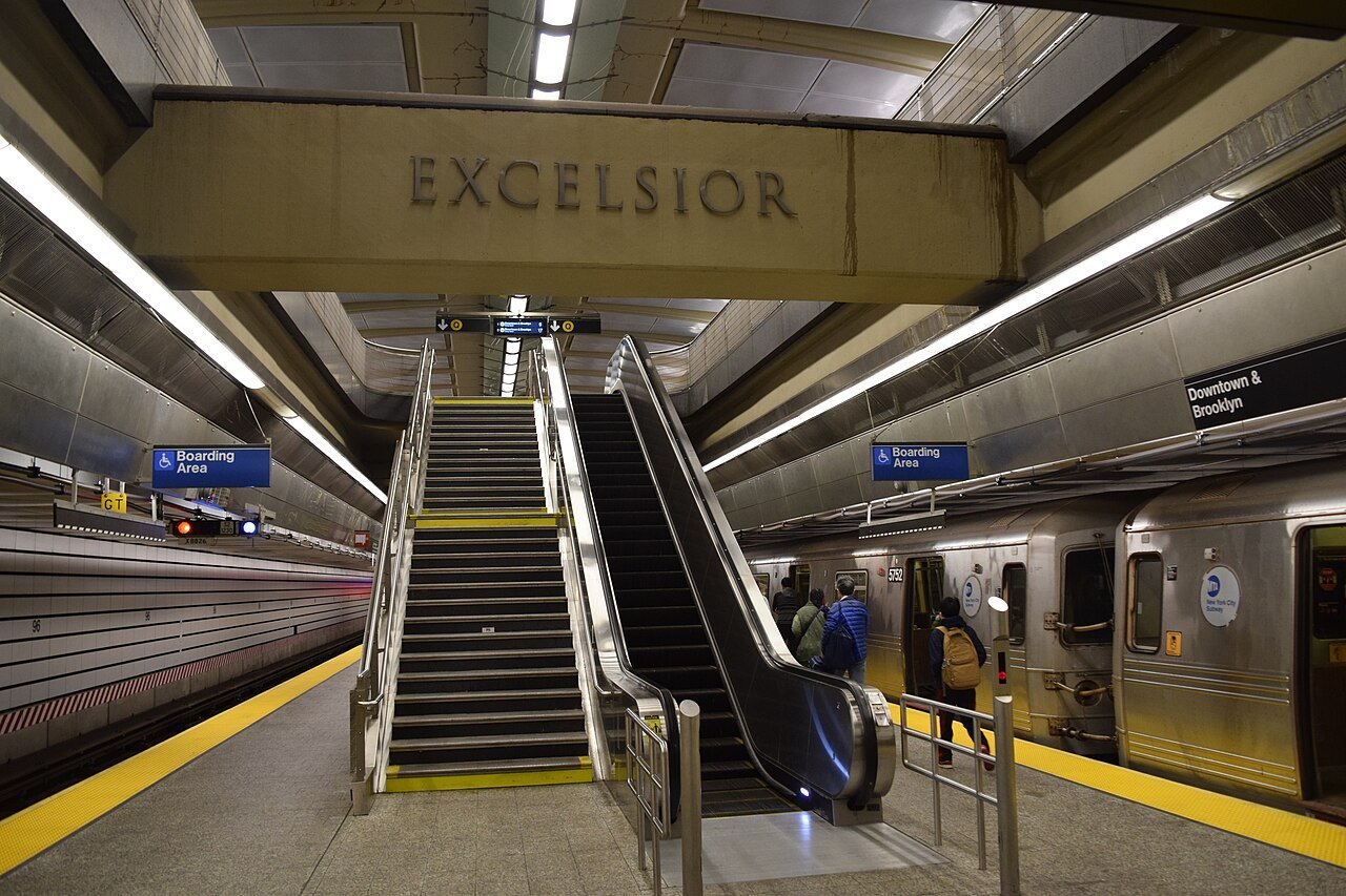
Twenty-two of the system's routes pass through Manhattan, and nearly every station is served around the clock. Local trains stop everywhere; express trains skip stops.
On the roadBuses
Buses run up and down the avenues and across on the wide crosstown streets, with free transfers to and from the subway when you tap to pay.
On the waterFerries
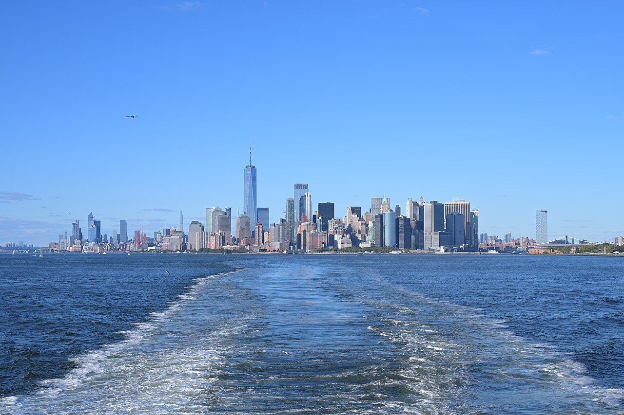
The fare-free Staten Island Ferry crosses the harbor past the Statue of Liberty, and NYC Ferry routes link the East River piers.
On railsThe tram
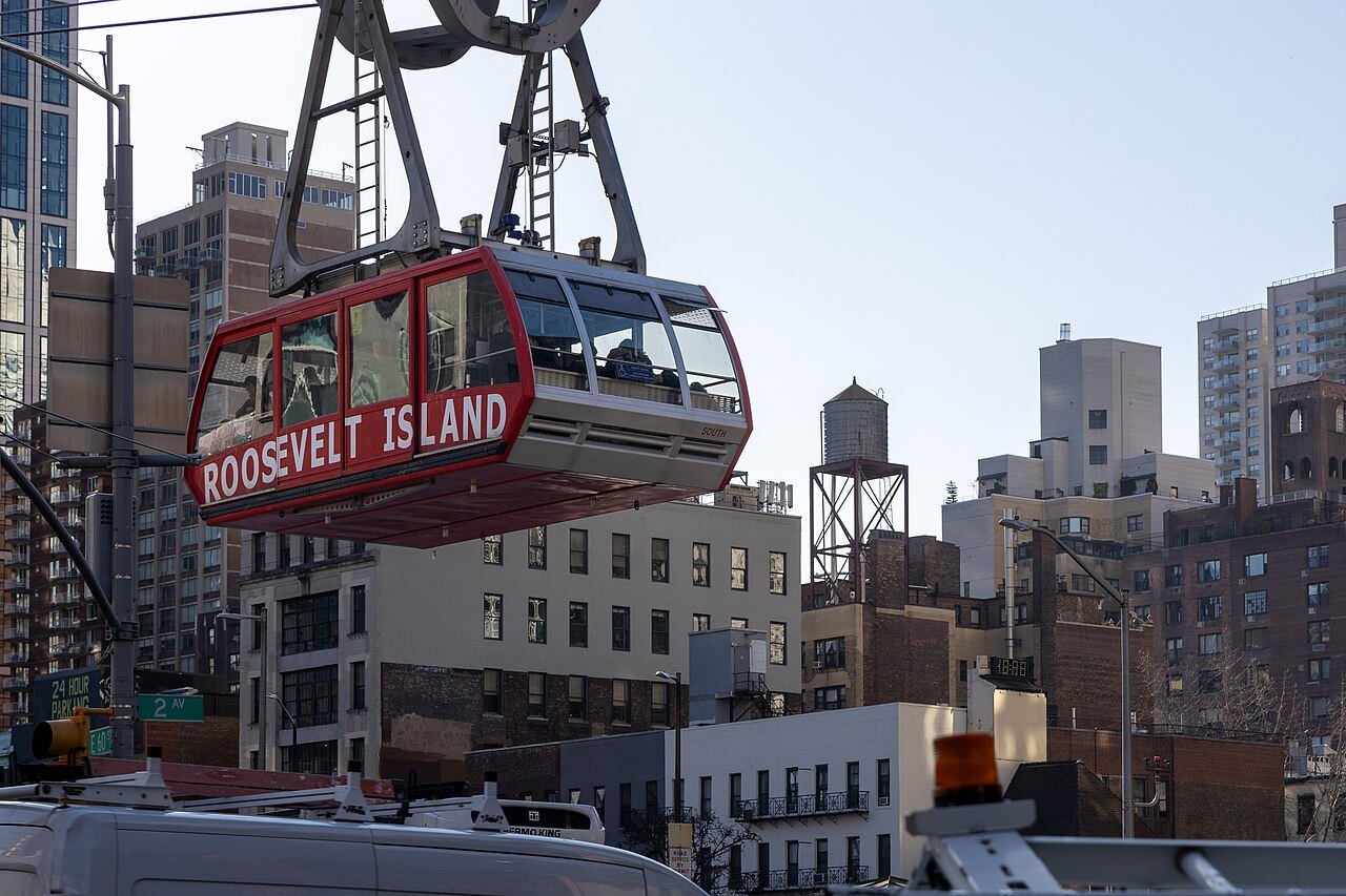
The Roosevelt Island Tramway, an aerial cable car from the Upper East Side, rides on the same fare as the subway.
On two wheelsCiti Bike
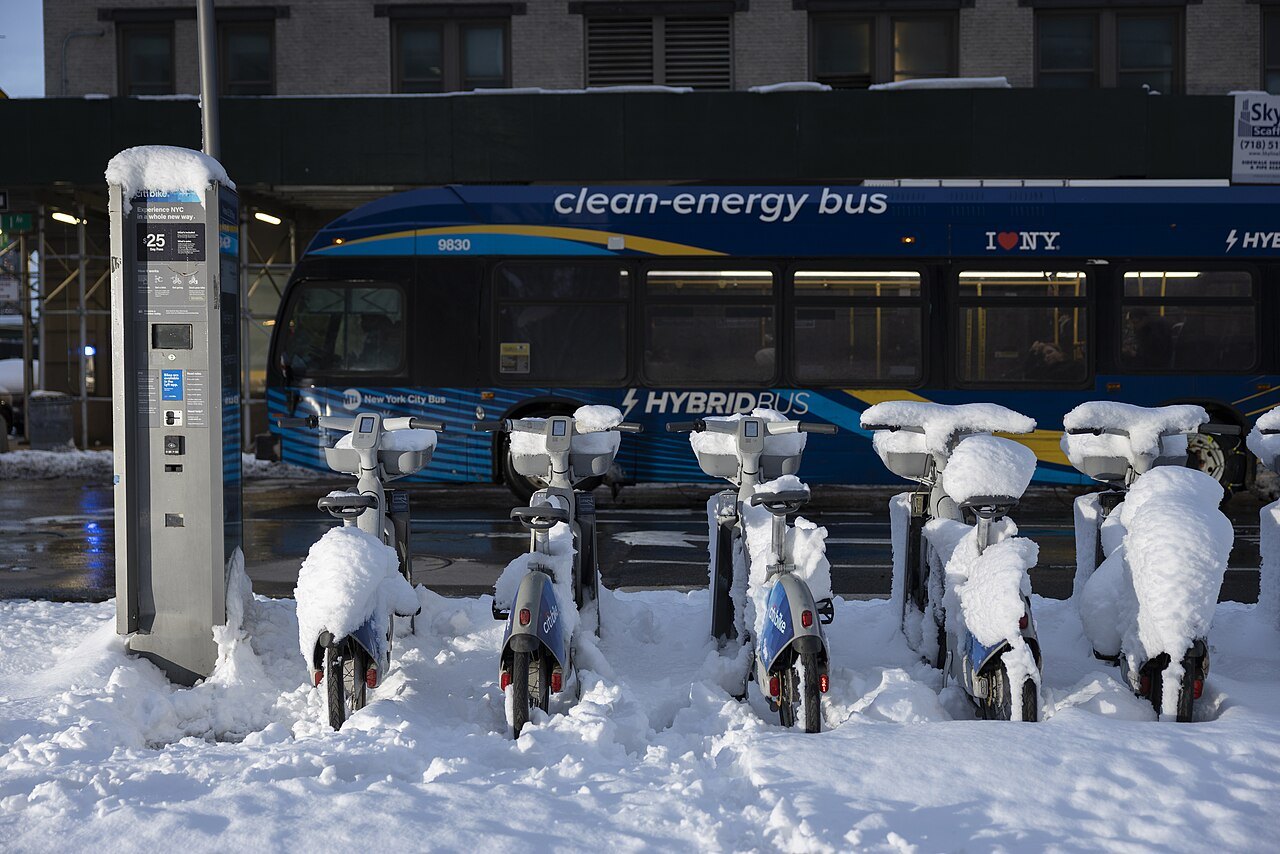
The largest bike share in the country, with docking stations all over Manhattan and pedal-assisted electric bikes.
On the roadTaxis
Yellow cabs can be hailed anywhere on the street; apple-green boro taxis serve the northern part of the island.
In full02
Getting Around
A city built for moving without a car
Nobody needs a car in Manhattan, and parking one is a trial. The island is small, flat for most of its length and laid out on a grid that makes it hard to get lost, and beneath it runs one of the oldest and largest subway systems in the world. Between the two, walking and the subway will get you almost everywhere you want to go, and buses, ferries, bikes and taxis fill the gaps.
The one thing to learn before you start is the direction words. In Manhattan, uptown means north and downtown means south, and every subway platform is marked Uptown or Downtown, often with separate entrances on opposite sides of the street. The grid explains how the street numbers work.
Walking
Walking is how Manhattan is meant to be seen. The street blocks are short, about twenty to the mile, so walking uptown or downtown goes quickly; the blocks between the avenues are far longer, so a crosstown walk of the same number of blocks takes much longer. A walk from Grand Central to Times Square along 42nd Street, taking in the Chrysler Building, the library and Bryant Park on the way, is a short stroll, and the homepage walk follows it.
Parts of the island are best walked because nothing else can show them: the High Line, the Village, Chinatown, the waterfront at the tip and the whole of Central Park. Wear comfortable shoes; most visitors walk far more here than they expect.
The subway
The New York City Subway opened on October 27, 1904, and it has the most stations of any system in the world: 472, counting connected stations separately. It runs twenty-four hours a day, every day of the year, and 470 of its stations are served around the clock. Twenty-two of its twenty-five routes pass through Manhattan, so almost any trip on the island is a single ride or one change. It is the busiest rapid transit system in the Western Hemisphere, with 248 miles of routes; large parts of it outside Manhattan run on elevated tracks, and its busiest day on record, in 2015, carried more than six million riders.
Routes are known by a letter or a number, and each has a color that shows the trunk line it runs on in Manhattan, though New Yorkers talk about the A train or the 6, never the blue line. Many lines have four tracks: the outer two carry local trains, which stop at every station, and the inner two carry express trains, which skip many of them. Check whether the train in front of you is local or express before you board, and look at the sign on the platform to see which way it is going.
At night some routes change their pattern or run local, and weekend track work regularly reroutes trains, so check the signs posted in the station before you travel.
Paying the fare
Nearly every fare is now paid with OMNY, a tap-to-pay system: tap a contactless bank card, a phone or an OMNY card on the reader at the turnstile as you enter. You do not tap again when you leave. The same card or phone works on the buses and the tram, and if you pay by tapping, a transfer between subway and bus within the time limit is free.
OMNY also has a fare cap: once you have tapped the same card or phone for a set number of rides in a week, the rest of the week's rides are free, so there is no need to buy a pass in advance. Each rider needs a separate card or phone, since only one tap per card counts toward the cap in any short period.
Buses
Buses cover everything the subway misses. They run up and down the avenues, usually one way, north on one avenue and south on the next, and across the island on the wide crosstown streets. They are slower than the subway in traffic but let you see the city as you go, and they are the easiest way to cross Central Park, which the subway does not do. Some routes run as Select Bus Service, with fewer stops.
Pay by tapping at the front door. A free transfer to or from the subway applies when you use the same card.
Ferries and the tram
The Staten Island Ferry is the best free ride in the city: it leaves the Whitehall Terminal at the southern tip of Manhattan day and night, crosses the harbor past the Statue of Liberty in about twenty-five minutes, and has been fare-free since 1997. It does not stop at the Statue itself; for that you need the ferry described on the Statue of Liberty page.
NYC Ferry, a network of six routes and a seasonal one, links piers on the East River and elsewhere, with free transfers between its own routes but not to the subway. Its boats are a pleasant way to reach Brooklyn's waterfront. The Roosevelt Island Tramway, an aerial cable car opened in 1976, crosses the East River from the Upper East Side to Roosevelt Island. It uses the same fare and the same tap-to-pay readers as the subway, and it is one of the cheapest views in the city.
Bikes and taxis
Citi Bike, which opened in 2013, is the largest bike-share system in the United States, with docking stations across Manhattan and neighboring boroughs and pedal-assisted electric bikes among its fleet. The waterfront paths and the park are the gentlest places to ride; Midtown traffic is not for beginners, and every rider should know the local rules before setting off.
Taxis are the other option. Yellow cabs, the city's symbol, can pick up passengers anywhere in the five boroughs; hail one whose roof light is on. Apple-green boro taxis can pick up only in northern Manhattan, above 96th Street on the East Side and 110th Street on the West Side, and in the other boroughs. Ride-hailing apps work here too. Getting here covers the airports.
Seen on the way03
More photographs
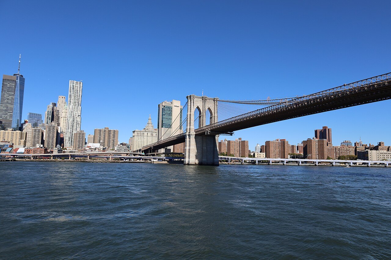
The Brooklyn Bridge and Lower Manhattan from the deck of a ferryAntony-22, Wikimedia Commons, CC BY-SA 4.0 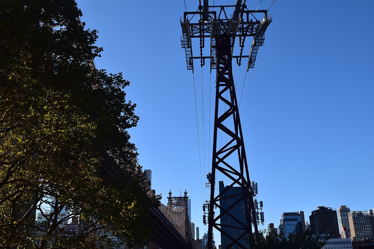
A steel tower of the Roosevelt Island TramwayTheCatalyst31, Wikimedia Commons, CC BY-SA 4.0 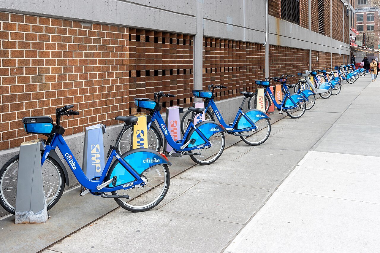
A row of Citi Bikes docked along a Manhattan sidewalkMike Peel (www.mikepeel.net), Wikimedia Commons, CC BY-SA 4.0