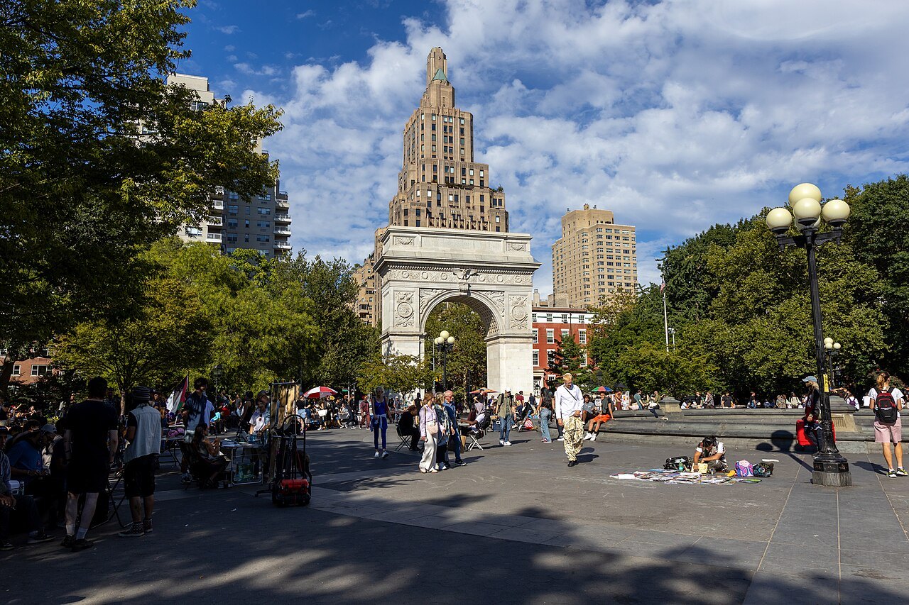
GREENWICH VILLAGE LANDMARK01
What is the story of the Washington Square Arch?
The story behind the marble arch at Washington Square, from potter's field to Stanford White's monument to Washington.
The answer in full02
Read on
A park with a buried history
Washington Square sits at nine and three-quarter acres, the point where Fifth Avenue begins, in the heart of Greenwich Village. The arch at its north end is the single image most visitors carry away from the Village, but it stands over ground that has been a burial site, a military parade ground, and a fashionable park long before anyone thought to put a monument there.
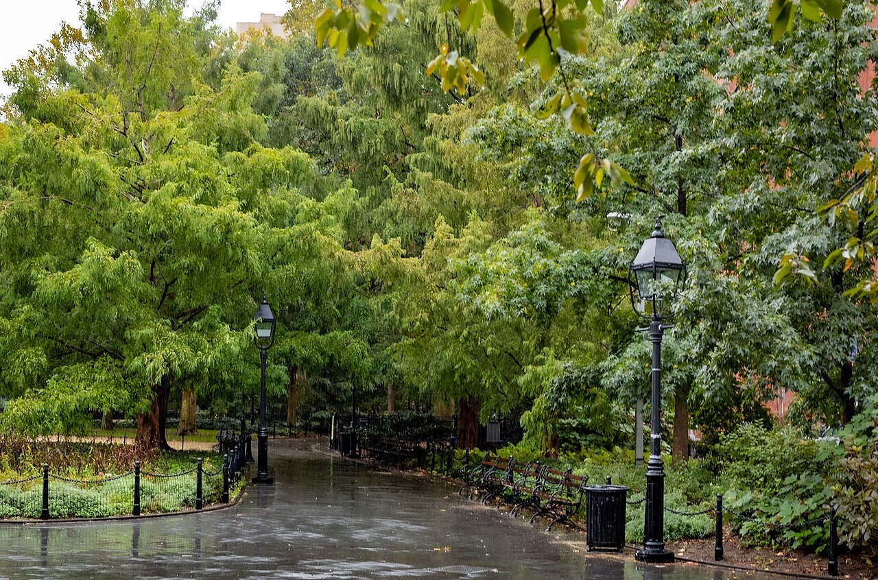
Greenwich itself was once a rural hamlet north of the old colonial town, and its streets were already laid out before the planners of 1811 drew the rigid grid over the rest of Manhattan. That is why the blocks around the square still run at odd angles, and why a visitor using the numbered system elsewhere on the island can lose their bearings here within a few minutes.
From potter's field to parade ground
In 1797 the city bought the fields that became the square for use as a potter's field, a public burial ground kept at a distance from the settled town. Most of those who died in the yellow fever epidemics of the early nineteenth century were buried here, and the remains of more than twenty thousand people are still understood to lie beneath the lawns and paths that visitors now walk across.
The burial ground gave way to other uses as the city grew north around it. In 1826 the land became the Washington Military Parade Ground, where volunteer militia companies drilled in public view. It was not laid out as a park in the modern sense until 1849 and 1850, when the city set the grounds out formally for the first time.
As the park took shape, the fine red-brick houses along Washington Square North went up, and the address became fashionable. The neighborhood that grew around the square housed both the city's wealthy families and its working artists side by side, a mix that set the tone for the Village's later reputation as a place for people who did not quite fit the rest of the city.
Building the arch
The arch itself began as a temporary structure. In 1889, for the centennial of George Washington's inauguration, the local businessman William Rhinelander Stewart put up an arch of plaster and wood spanning Fifth Avenue at the square's edge. It drew enough public affection that the city decided to replace it with something permanent rather than take it down.
The architect Stanford White designed the permanent version after the Roman triumphal arches of antiquity, built in white Tuckahoe marble and finished in 1892. It stands seventy-seven feet high, and its north face carries two statues of Washington, one showing him at war and the other at peace, a pairing meant to sum up the first president's public life in a single monument.
The arch has no admission and no gate; it stands over the pedestrian path at the top of the park, open to the sky, and visitors walk through it exactly as New Yorkers have for more than a century.
Looking north from the arch
Stand under the arch and look north, and Fifth Avenue runs in a straight line toward Midtown, with the Empire State Building visible on the skyline on a clear day. In a practical sense, this is the point where the long, numbered grid of Manhattan streets begins, even though the Village itself, just behind the visitor, ignores that grid entirely.
For an explanation of why the numbered avenues and cross streets behave the way they do north of here, see the grid. For what the Empire State Building offers once a visitor reaches it, see Empire State Building.
Saving the square from the cars
For much of the twentieth century, traffic drove straight through Washington Square, circling the fountain and passing under the arch itself. In 1952 Robert Moses, then the city's powerful parks official, finalized a plan to extend Fifth Avenue as a through road across the park, a plan that would have made the arch a traffic island rather than a gateway.
Local residents organized against it, in a campaign often credited to the urbanist Jane Jacobs, who lived nearby. Jacobs herself pointed instead to Shirley Hayes and the Washington Square Park Committee, who argued for closing the park to all vehicles while refusing to let the surrounding streets be widened to take the traffic instead.
A public hearing in 1958 led to the park being closed to cars on a trial basis, and it has remained free of vehicle traffic ever since. It was one of the first occasions New Yorkers beat Moses outright, and the episode changed how the city thought about streets and parks for decades afterward.
What the square looks like today
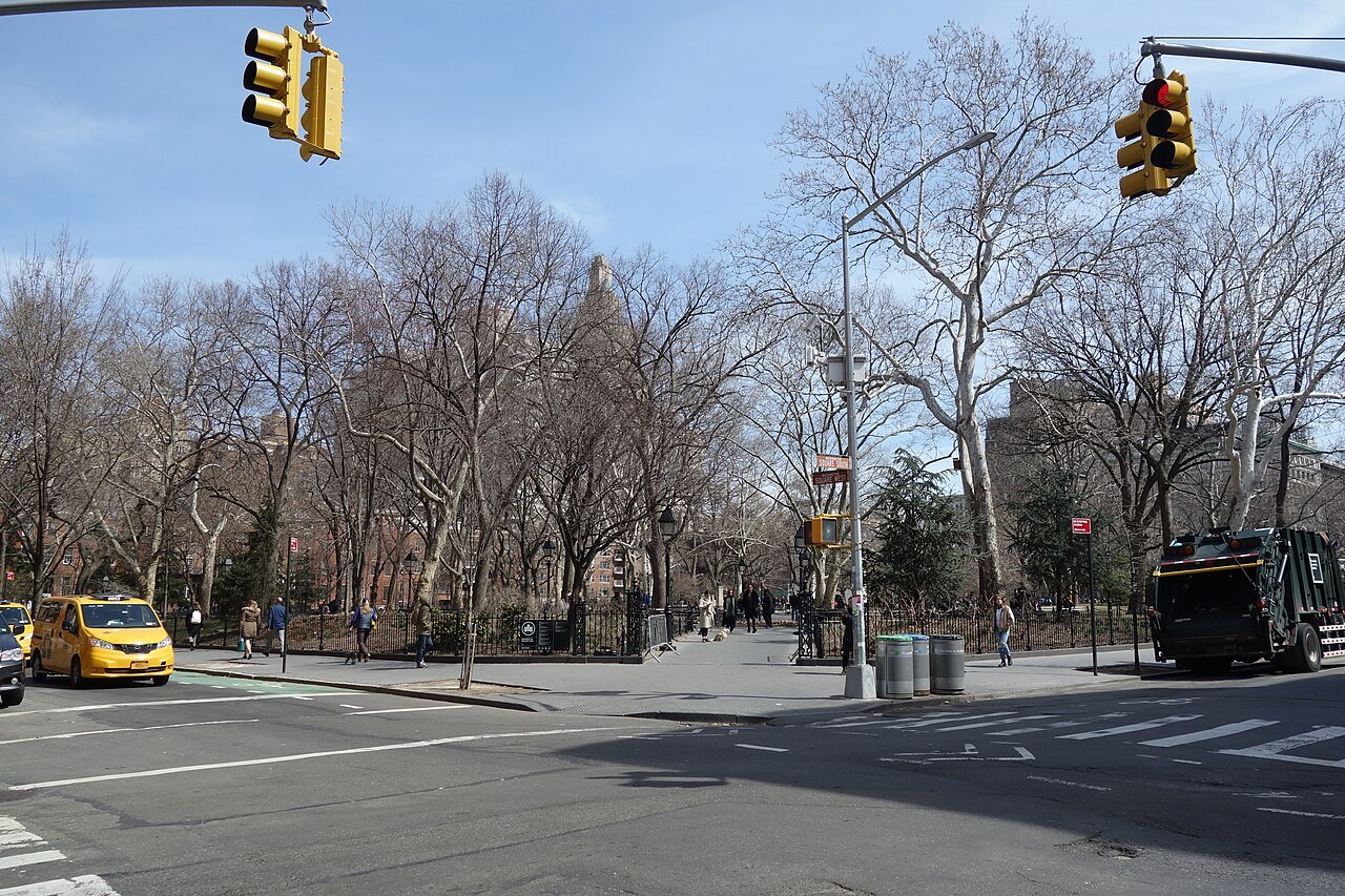
The square today functions as an open-air stage. Around the central fountain, musicians, students from the university that surrounds the park, and performers gather, along with a steady crowd simply sitting on the fountain's rim to watch. In the southwest corner, chess and Scrabble tables are almost always occupied by players and onlookers.
Beyond the fountain there are playgrounds, gardens, two dog runs, and statues of Washington himself, the Italian patriot Giuseppe Garibaldi, and the engineer Alexander Lyman Holley. West of the square, a historic district of more than fifty blocks runs up to 14th Street, filled with Greek Revival and Federal-style brick townhouses, stoops, and iron railings well worth a slow, unhurried walk.
On Christopher Street, the Stonewall Inn marks where a police raid in June 1969 set off the riots that began the modern gay rights movement; the bar and the small Christopher Park across the street became the Stonewall National Monument in 2016, with a visitor center that opened in 2024.
How to visit
The square and the surrounding streets are free to enter and open to walk at any hour, with no ticket and no gate beyond the arch itself. A visit to the square alone takes roughly half an hour; allow at least another hour for the side streets to the west, where getting lost is part of the experience rather than a problem to avoid.
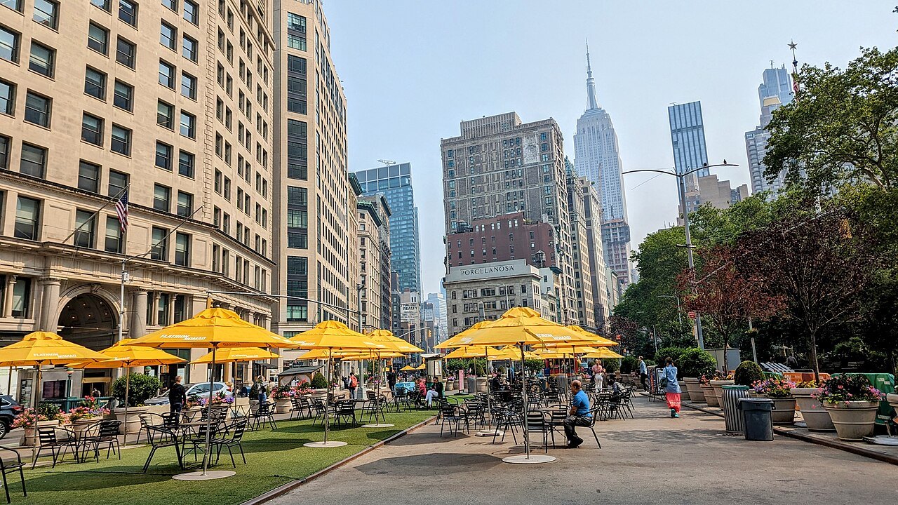
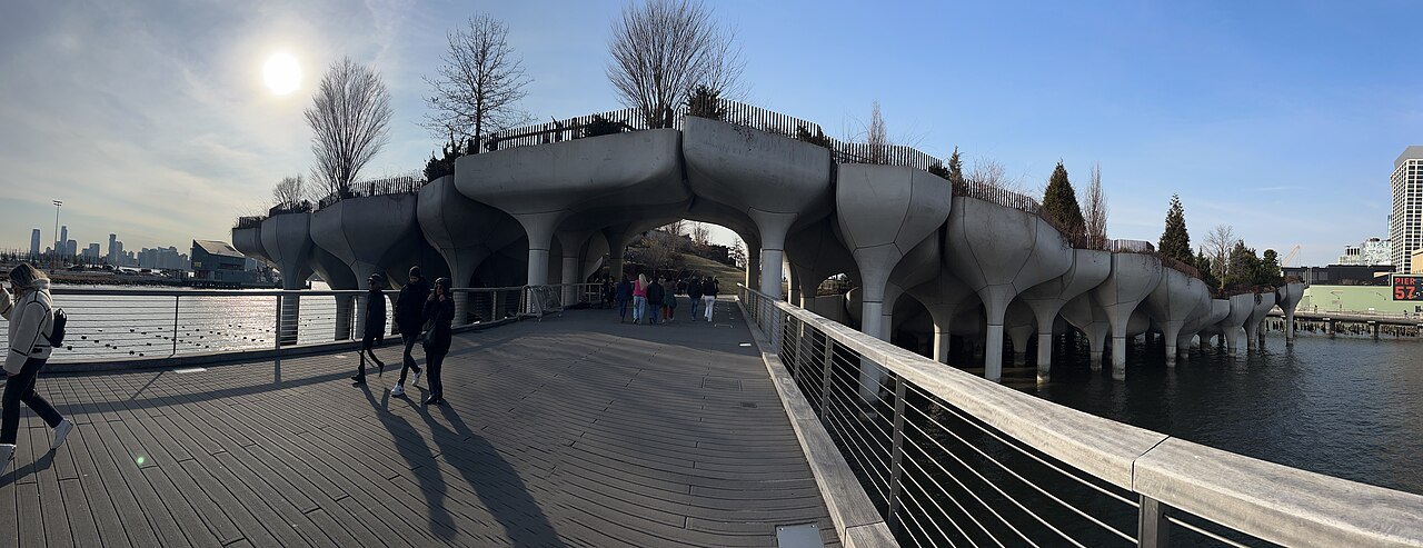
Several subway lines stop at West 4th Street, a short walk from the park; for general guidance on using the system, see getting around. From the square, Fifth Avenue leads north to the Flatiron Building, covered at Flatiron, while a walk west reaches the southern end of the High Line, described at High Line.
Read next03
More from the journal
- Washington Square and Greenwich VillageWhy is the Stonewall Inn a national monument?The story behind the Stonewall Inn's 2016 designation as the first national monument for LGBTQ history.Read the piece →
- The GridWhat is Manhattanhenge, and where should you watch it?Four days a year the sun rises or sets exactly along Manhattan's cross streets, because the grid of 1811 is tilted 29 degrees. Why it happens, when, the difference between the half sun and the full sun, and which streets give the best view.Read the piece →
- The Brooklyn BridgeCan you walk across the Brooklyn Bridge?Yes, on a raised promenade between the roadways that is now for people on foot alone. Which way to walk, where to start and finish, how long it takes, when it is least crowded, and what to do in Brooklyn at the far end.Read the piece →