FREIGHT RAILS TURNED PUBLIC PARK01
How did an old freight railroad become the High Line?
How an abandoned elevated freight line above Manhattan's West Side became the High Line, one of the city's most visited parks.
The answer in full02
Read on
From Death Avenue to the elevated line
Long before anyone walked above Tenth Avenue, the New York Central Railroad ran its freight trains at street level down Tenth and Eleventh Avenues, hauling coal, dairy products and beef to the warehouses that lined the West Side. The trains shared the roadway with carts, cars and pedestrians, with predictable results.
So many people were killed in collisions with the trains that the avenues became known as Death Avenue. The danger grew with the city's traffic, and by the late 1920s the railroad, the city and the state agreed that the freight line had to be lifted off the street for good.
The result was the West Side Improvement Project, agreed in 1929 and dedicated on June 29, 1934. The new elevated line ran two or three stories above the street, built to connect directly into the upper floors of factories and warehouses, so freight cars could load and unload inside the buildings.
Decline and rescue
Interstate trucking drew the freight traffic away after the 1950s, and the railroad had less and less use for its elevated tracks. The southern section of the viaduct was pulled down in stages, and by 1980 the remaining line had been effectively abandoned, left to rust above the streets of Chelsea.
With no trains running, tough wild grasses, sumac and small trees seeded themselves in the gravel bed, and urban explorers climbed up to see them. Before the structure became a park, botanists counted one hundred sixty-one species of plants growing wild on the tracks; about four hundred grow there now.
In 1999 two local residents, Joshua David and Robert Hammond, founded Friends of the High Line to stop the demolition planned for the viaduct and turn it into a park instead. Construction began in 2006, and the High Line opened to the public in three phases, in 2009, 2011 and 2014.
What you actually see
The High Line's design is by the landscape architects James Corner Field Operations, the architects Diller Scofidio and Renfro, and the Dutch planting designer Piet Oudolf. Their idea was to keep the feeling of a wild railway rather than build a conventional park, so the old rails still run in and out of beds planted with grasses, perennials and small trees.
Walking north from Gansevoort Street, the path runs along the western edge of Chelsea Market, a food hall built inside the old National Biscuit Company factory where the Oreo was invented, at 15th Street. A couple of blocks on, the Tenth Avenue Square steps down like an amphitheater toward a glass window over the avenue, where visitors sit and watch traffic come straight at them.
At 23rd Street the viaduct widens into an open lawn, one of the few stretches of grass to sit on along the route. Beyond 26th Street a raised walkway called the flyover lifts visitors up into the treetops, with a lookout facing east over the rooftops of Chelsea.
The Spur and Hudson Yards
At 30th Street the park curves west around the towers of Hudson Yards, the cluster of new skyscrapers and shops that has grown up around the rail yards the line once served. The curve gives walkers a close view of the glass towers before the path narrows again toward its northern end.
The Spur, a branch of the park that opened in 2019, reaches east from this point over 30th Street to Tenth Avenue. It opens into a hall with sixty-foot ceilings, the park's largest garden, and a plaza used for large works of art that change roughly every eighteen months.
Since 2023 a walkway from the Spur has led to Moynihan Train Hall, the newer concourse built alongside Penn Station. Visitors heading onward by train can use this link rather than returning to street level, though it is worth checking current signage, since station layouts and entrances can change.
Two new neighbors
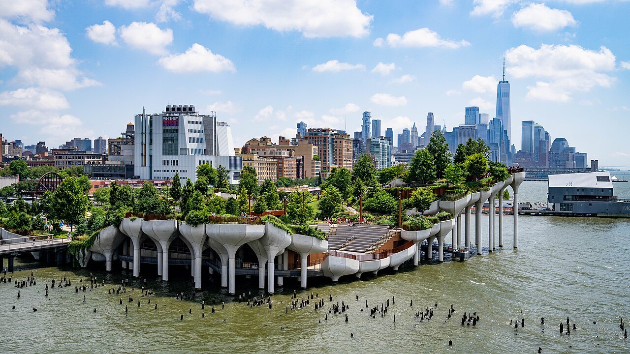
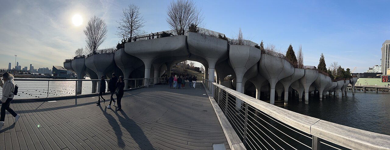
Across West Street from the High Line's southern end, at the level of West 13th Street, a small park called Little Island sits in the Hudson on one hundred thirty-two concrete supports shaped like tulips, rising to different heights so that its lawns and paths roll up and down. It was designed by Heatherwick Studio and opened on May 21, 2021.
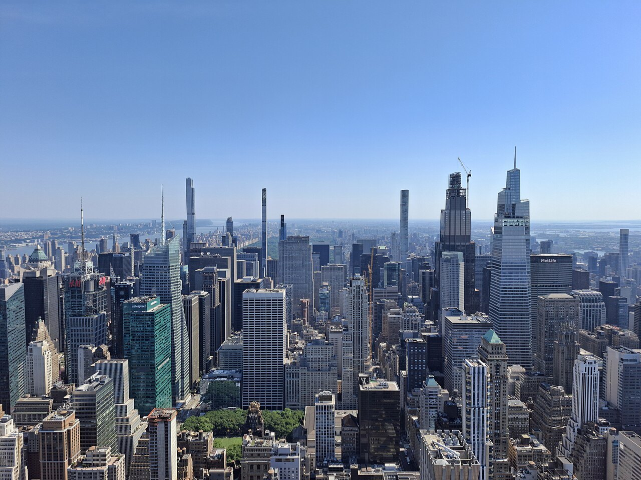
Little Island has lookouts over the river and a six hundred eighty-seven-seat amphitheater used for performances, and it makes a natural pairing with the High Line, since both parks sit above the traffic and water of the old waterfront, reached by short walks from the park's southern stairs.
At the northern end, by Hudson Yards, stands Vessel, also designed by Thomas Heatherwick: a sixteen-story honeycomb of one hundred fifty-four flights of stairs, about two thousand five hundred steps and eighty landings. It opened in 2019, was closed more than once after visitors died there, and reopened in October 2024 with glass safety barriers. Its status can change, so check directly with its operator before planning to climb it, including whether a ticket is required.
How to visit
The High Line is a free public park, run by the nonprofit Friends of the High Line, with daily hours that change with the season. These are published on the park's own site, and visitors should check them before planning a visit, since the schedule does not stay the same year-round.
Accessible entrances, each with stairs and an elevator, are at Gansevoort, 14th, 16th, 23rd and 30th Streets, with more stairways in between for those who do not need the elevators. The conservancy lends wheelchairs to visitors who ask in advance, and it publishes the current status of its elevators online for anyone planning around them.
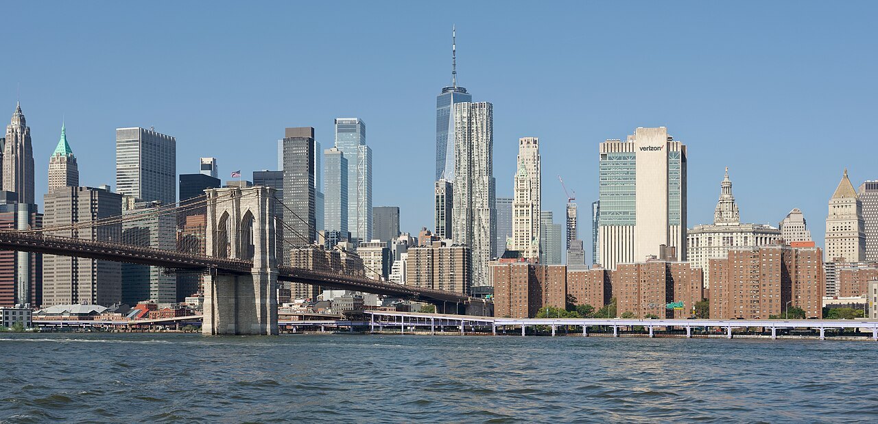
Most visitors walk north from Gansevoort Street, saving the towers of Hudson Yards for the end of the walk. The park drew about eight million visitors a year by 2019, so narrower stretches can be slow going, and it helps to allow extra time for a full walk of the route.
Bicycles are not allowed on the High Line itself, though there are racks at street level near several of the stairs. The park has its own rules, published by the conservancy, and visitors wanting the subway stations at each end of the route should check a map or transit app before setting out.
Nearby
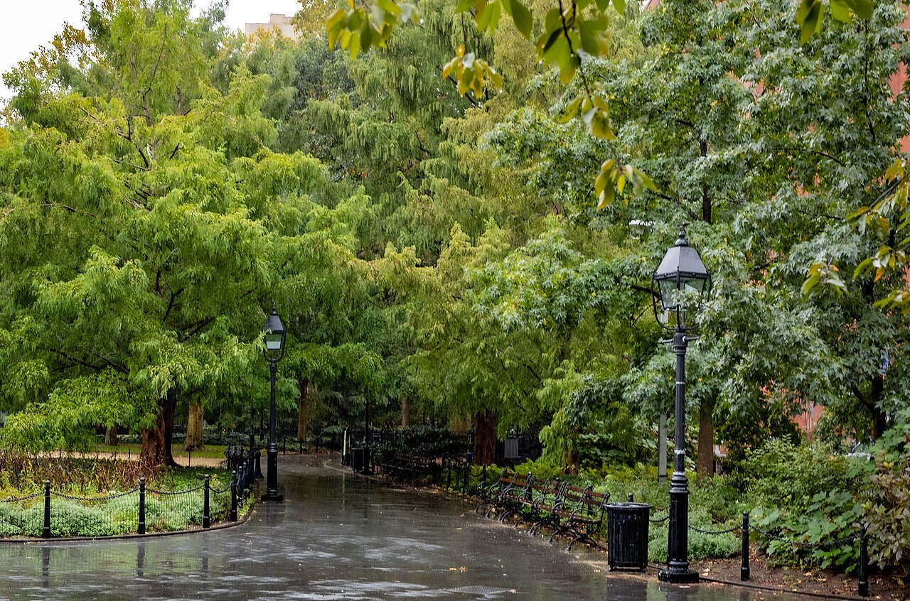
The High Line's southern end, at Gansevoort Street in the Meatpacking District, sits three blocks below 14th Street and is a short walk from Greenwich Village, where the street pattern predates the city's later grid. The village's older, lower buildings make a clear contrast with the warehouses and new towers the elevated line passes through as it heads north into Chelsea.
From the High Line's northern end, near 34th Street and the rail yards, the Empire State Building stands straight along 34th Street to the east. It is a direct walk from the park's stairs or elevator at that entrance, without needing to cross back through the crowds around Hudson Yards.
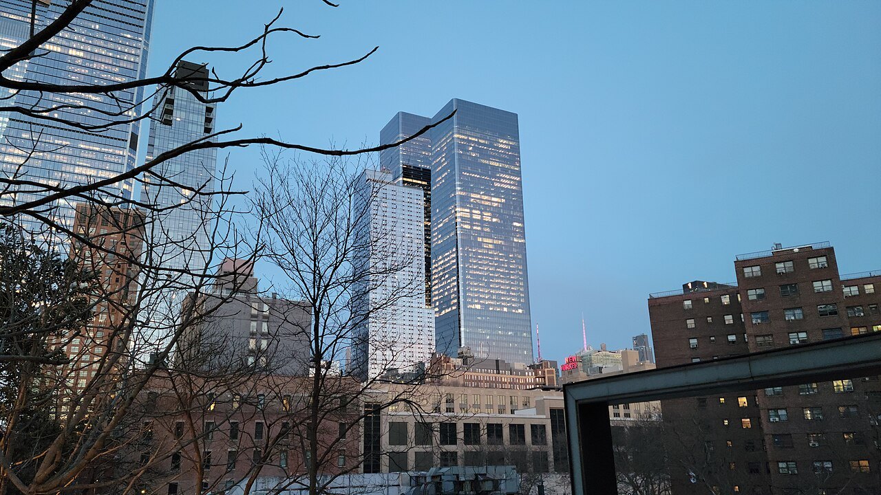
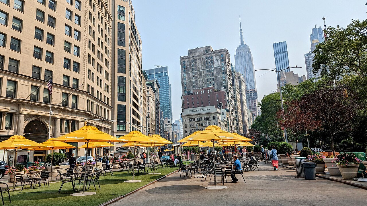
The Flatiron Building is reached by walking east along 23rd Street from the park, through the middle of Chelsea. It makes a natural extension to a High Line walk for visitors with time to continue on foot, rather than heading straight back underground to the subway.
Read next03
More from the journal
- Getting HereWhat happened to the old Penn Station?New York once had a railroad station modeled on the baths of ancient Rome. Why it was torn down in the 1960s, where its sculptures went, how its loss saved Grand Central, and where you can still feel something of it today.Read the piece →
- Getting AroundHow does the New York subway work for visitors?The subway runs all night, takes a tap of your bank card or phone, and reaches nearly everything on this site. How the lines are named, which platform to choose, the difference between local and express, how the fare cap works, and what changes at night and on weekends.Read the piece →
- The Brooklyn BridgeCan you walk across the Brooklyn Bridge?Yes, on a raised promenade between the roadways that is now for people on foot alone. Which way to walk, where to start and finish, how long it takes, when it is least crowded, and what to do in Brooklyn at the far end.Read the piece →