HOW CHINATOWN GREW UP01
How did Manhattan's Chinatown grow up around Mott Street?
How Manhattan's Chinatown took shape around Mott Street from the 1870s onward, block by block.
The answer in full02
Read on
Two neighborhoods, one shape
East of City Hall and south of Houston Street lie two neighborhoods where much of immigrant New York began. The Lower East Side absorbed the great wave of arrivals of the late nineteenth and early twentieth centuries, most of them crowded into tenement buildings. Chinatown grew up on its western edge, around Mott Street, from the eighteen-seventies onward, and it is now home to the highest concentration of Chinese people in the Western Hemisphere, an estimated ninety to a hundred thousand people in the neighborhood itself.
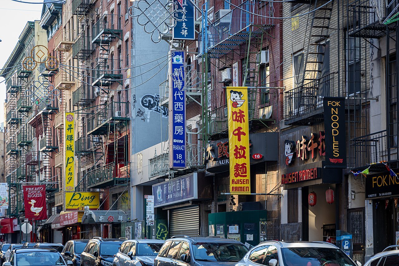
Neither is a museum piece. Both are working neighborhoods of shops, markets, restaurants and apartments, and the best way to see them is on foot, slowly, at mealtimes. The street life itself is as much the point as any single landmark, and bakeries, dumpling shops and delis line the way the whole route.
They also sit below the grid of 1811, so here the streets bend, meet at odd angles and carry names rather than numbers, which is a large part of their character, and part of why a map is worth carrying even on a short walk.
Mott Street's historic core
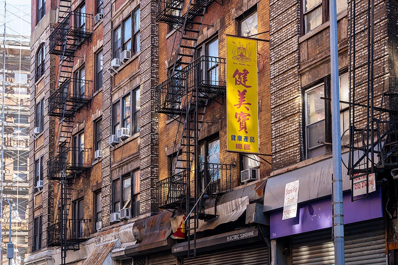
The historic core of Chinatown is the small area bounded by Chatham Square and the Bowery, Worth Street, Baxter Street and Canal Street. Chinese immigrants began settling Mott Street south of Canal, and the nearby Mulberry, Bayard, Pell, Doyers and Worth Streets, starting in the eighteen-seventies, a pattern of settlement that still shapes the streets a visitor walks today.
By 1882, when Congress passed the Chinese Exclusion Act, about two thousand people lived here, almost all of them men; the imbalance lasted until the act was repealed in 1943. The law kept families apart for decades and shaped the neighborhood's early character as a community of workers rather than households.
Mott Street itself became the spine of the neighborhood, the street other blocks grew around. Shops, produce stands and restaurants line it from end to end, and it is the natural place to begin any visit on foot.
Landmarks along Mott Street
At number sixty-two Mott Street stands the Chinese Consolidated Benevolent Association, founded in 1883 and still the neighborhood's senior community organization; its building has been called the city hall of Chinatown. It sits among shopfronts and restaurants, one more sign of how closely this street mixes community institutions with everyday business.
Further up Mott Street is the Church of the Transfiguration, the oldest Roman Catholic church building in Manhattan. It is a reminder that other immigrant communities, Italians among them, lived on these same streets before and alongside the Chinese — a pattern repeated across the city's older neighborhoods.
Walking this stretch today, past grocers and tea shops, it helps to remember that the street carries more than a century of continuous settlement, longer than almost any other immigrant quarter in the city, and it is worth slowing down rather than treating the block as a thoroughfare to somewhere else.
Doyers Street's sharp bend
Doyers Street, off Pell Street, is a single block with a sharp bend halfway along it, one of the most photographed corners in downtown Manhattan. The bend breaks the sightline in a way the surrounding grid never allows, and it is easy to see why generations of visitors and photographers have stopped here.
From 1893 to 1911, the address five to seven Doyers Street housed the first Chinese-language theater in New York, a sign of how quickly the small settlement had grown into a neighborhood with its own cultural life where plays and performances drew audiences from across the surrounding blocks every week.
In 1903 the community held a fundraiser at the theater for the Jewish victims of a massacre in Kishinev, a small gesture that points to ties between Chinatown and the immigrant neighborhoods around it, including the Lower East Side just across the Bowery, a reminder that the neighborhood's history is bound up with its neighbors.
From Five Points to Columbus Park
Columbus Park, at the western edge of Chinatown, is the neighborhood's only park and functions as its living room. On any fine day it fills with card and mahjong players, groups practicing tai chi, and families, making it as good a place as any to sit and watch the neighborhood go about its day.
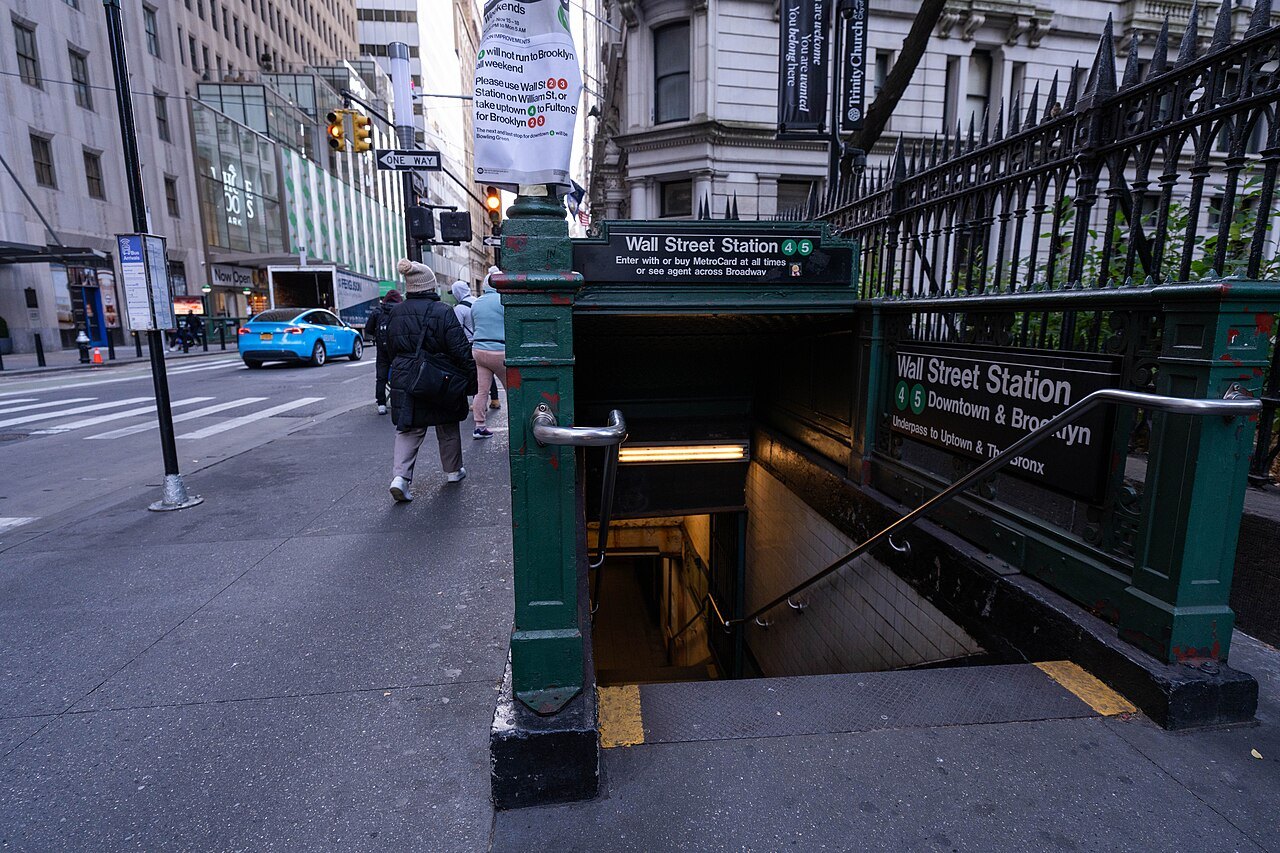
The park was built in 1897 over Mulberry Bend, a curve of Mulberry Street that had been the center of the Five Points, the most notorious slum of nineteenth-century New York. Little of that history is visible now; the park reads simply as open ground among dense blocks, though its name still marks the memory.
The reporter and photographer Jacob Riis, author of How the Other Half Lives, is generally credited with getting the slum cleared and the park made, part of a broader reform movement that reshaped several of the city's worst tenement blocks in the late nineteenth century, work that visitors can still trace in the shape of the park today.
A changing Chinatown
Since the 1980s and 1990s, many newer arrivals have come from Fujian province, and the streets east of the Bowery have become a Fuzhounese neighborhood of their own, while the older streets to the west remain largely Cantonese. The split is still visible in shop signs, dialects and the kind of food on offer.
The rough border runs along the Bowery, Chrystie Street, Catherine Street and Chatham Square, so a short walk east from Mott Street can cross from one community into the other without any sign on the ground beyond the changing storefronts. Both halves of Chinatown repay a slow walk rather than a straight line.
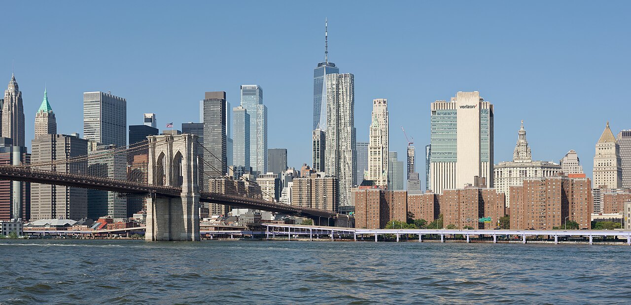
Beyond the Bowery lies the Lower East Side, which took shape on farmland once belonging to James Delancey, whose pre-Revolutionary estate survives in the names Delancey Street and Orchard Street. Some of New York's first tenements went up there in the 1830s, and the district has kept its mix of old brick walk-ups and fire escapes ever since.
How to visit
The streets of Chinatown are free to wander, with no admission fee for walking them. Chinese greengrocers and fishmongers cluster around Mott, Mulberry and Canal Streets and all along East Broadway, and Columbus Park is at its busiest in the early morning, when the tai chi groups gather before the streets fill with the day's shoppers.
Wear comfortable shoes and allow two or three hours for a wander that takes in Mott, Pell and Doyers Streets, Columbus Park, and then Orchard Street across the Bowery. The uneven, angled streets reward unhurried walking far more than a fixed route, and a map or phone is worth keeping to hand, since names rather than numbers mark the way.
Much of the reason to come is the food, from bakeries to dumpling shops to the delis of the Lower East Side; eating and drinking describes what to look for. Canal Street is the busy commercial edge of Chinatown and a good landmark if a visitor loses their bearings, especially after crossing from the quieter side streets.
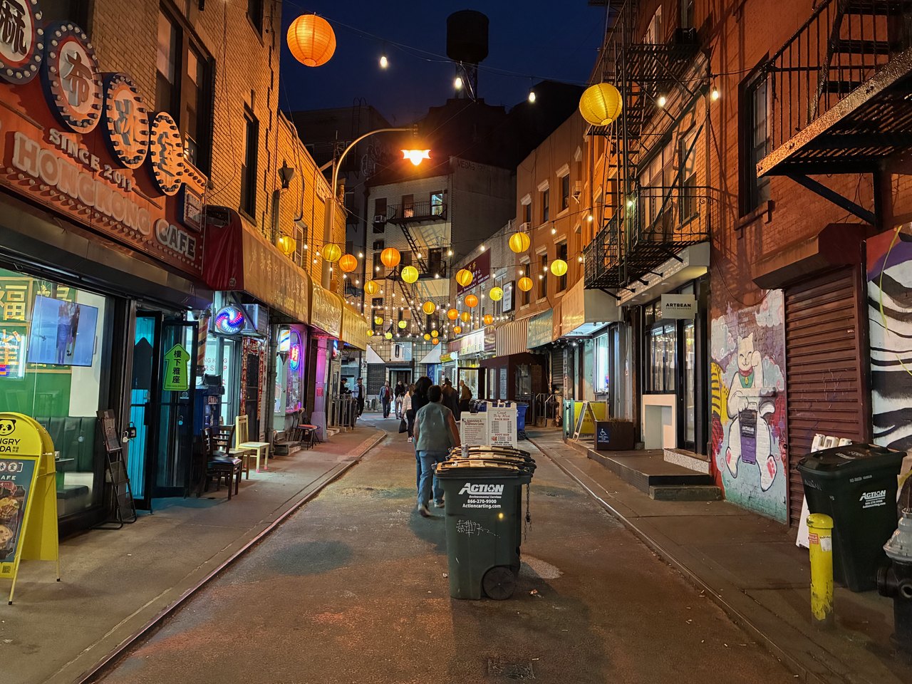
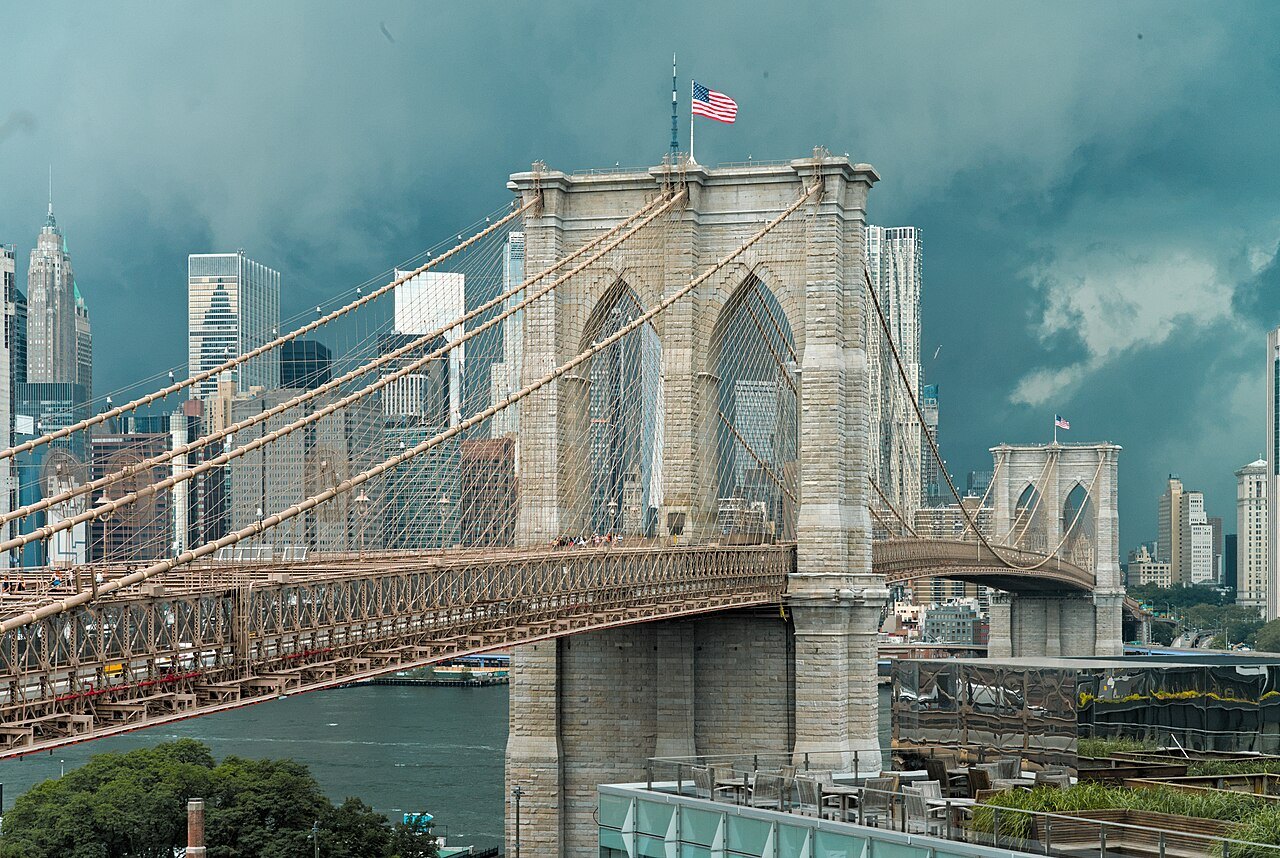
The walkway of the Brooklyn Bridge starts a few blocks south of Chatham Square, and the old streets of Greenwich Village are a walk to the northwest across SoHo. City Hall and the courts are just to the south, on the way toward Wall Street, all within easy walking distance of Mott Street.
Read next03
More from the journal
- The Brooklyn BridgeCan you walk across the Brooklyn Bridge?Yes, on a raised promenade between the roadways that is now for people on foot alone. Which way to walk, where to start and finish, how long it takes, when it is least crowded, and what to do in Brooklyn at the far end.Read the piece →
- The Statue of Liberty and Ellis IslandWhat was Ellis Island like for the immigrants who passed through it?What arriving immigrants faced at Ellis Island, from the Great Hall to medical checks, detention and myths about names.Read the piece →
- Getting HereHow do you get from JFK Airport to Manhattan?There is no direct train from JFK to Manhattan, but there are three good ways in: AirTrain to Jamaica and the Long Island Rail Road, AirTrain to the subway, or a taxi at a flat rate. How each one works, what it involves with luggage, and how to choose.Read the piece →